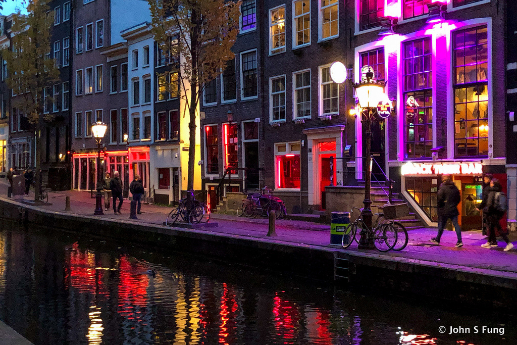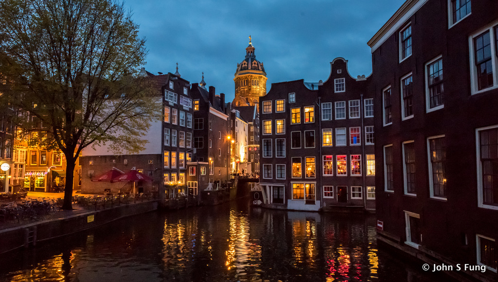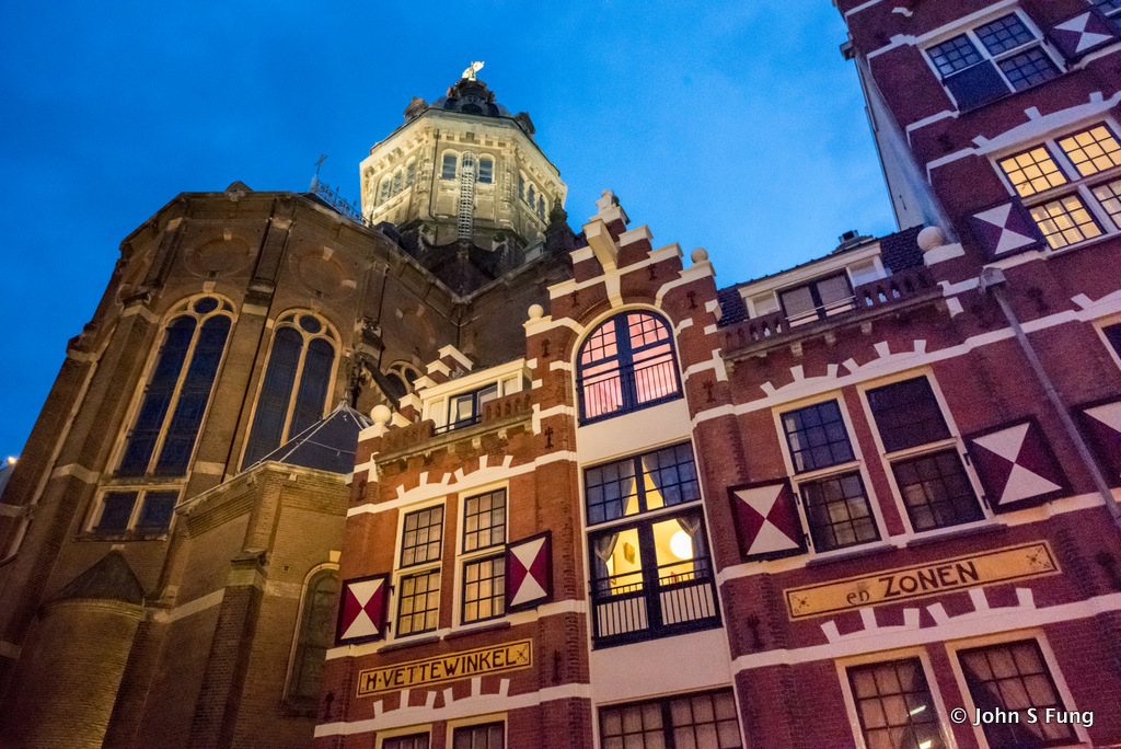
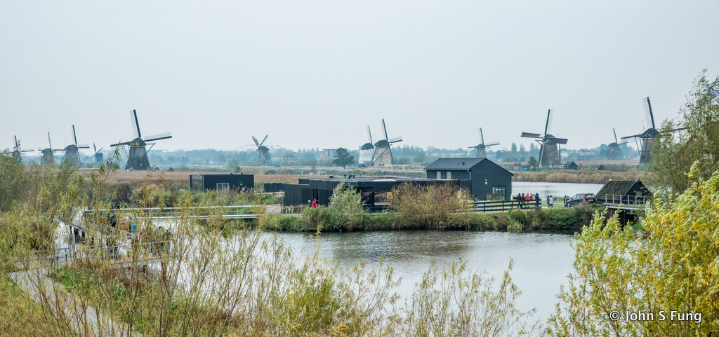
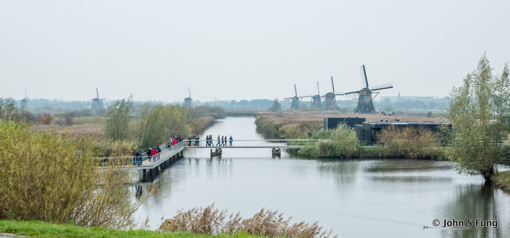
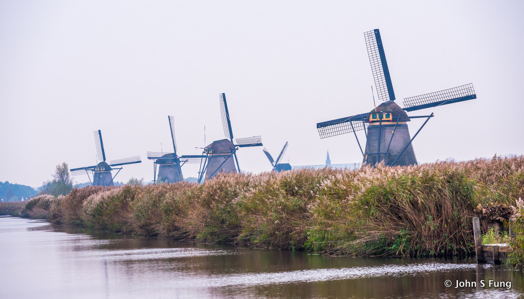
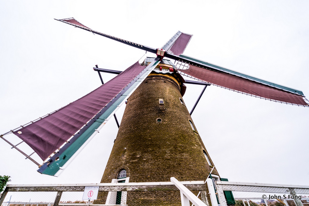
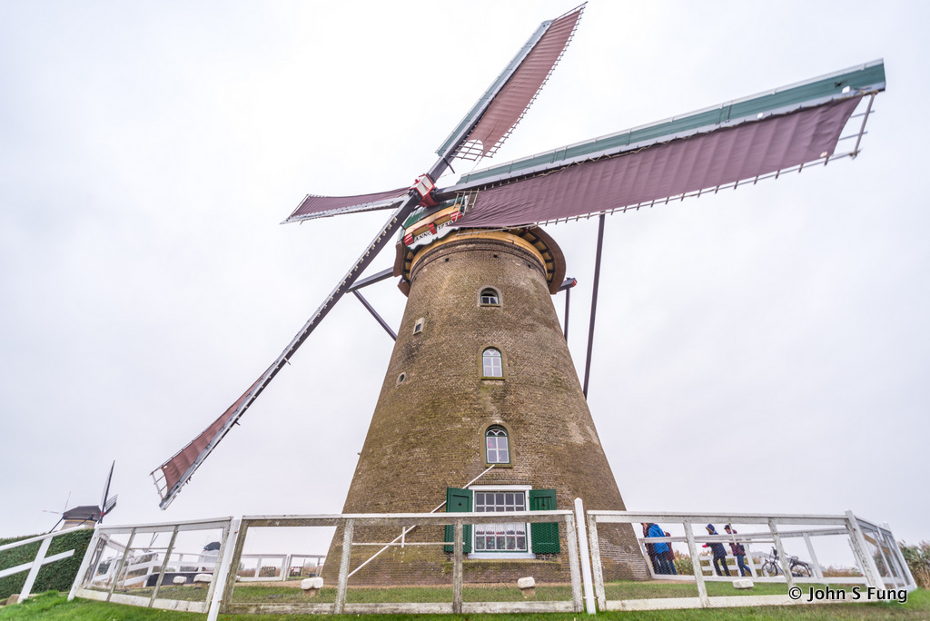
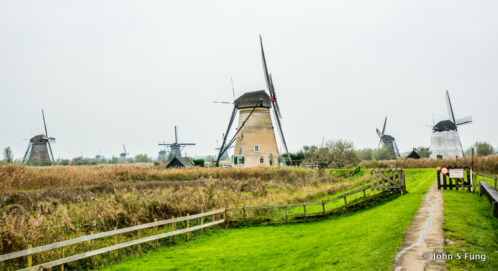
上船的第二天,我們來到小孩堤防,參觀著名的風車群。由於在飛機上沒啥睡,而且時差又作怪,加上天色昏暗,灰濛濛的一片,令我這好”色”之徒的遊興大大打了折扣。
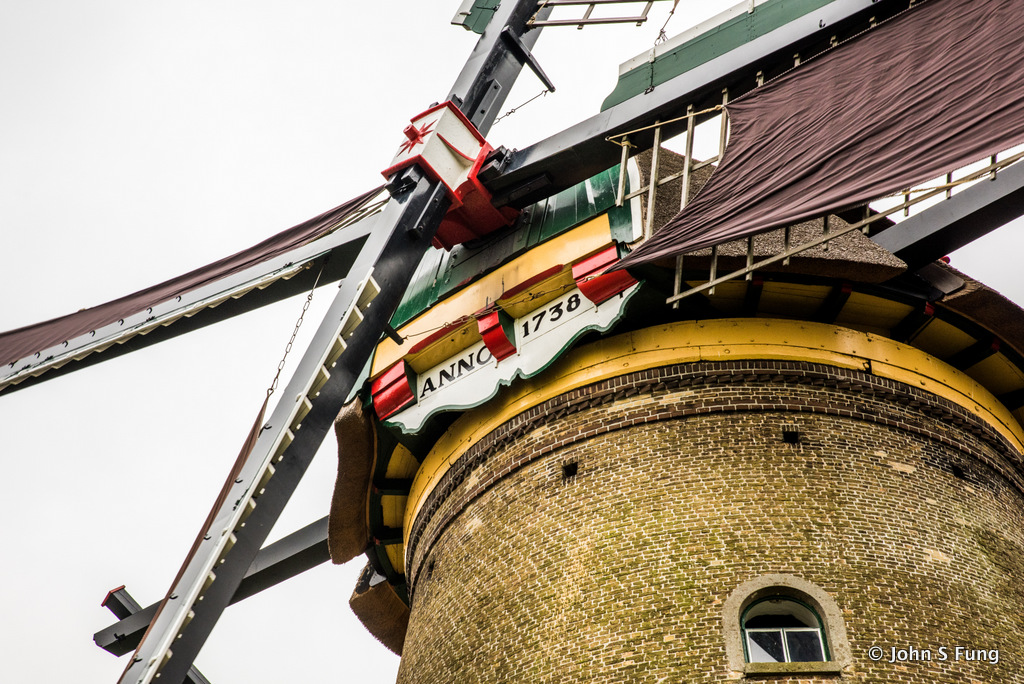
據說,一千年前,Alblasserwaard 這個地方是一個泥炭沼澤,位於兩河流(Lek & Noord)之间。最早來的拓荒者把住房建在稍高的沙丘地。漸漸,此地亦變成市鎮,愈來愈多人移居此地。位於較低的圩田(低窪開拓地)的居屋常受水澇之苦。人們雖然加高堤壩以應,但土壤沉積和地下水令水患持續,1421年水災傷亡眾多。所以就有了建風車的計劃。風車將水提至水塘再在河水水平稍低時引入河中排出(外海的潮汐亦會影響河水的水位)。現存的風車是1738年至1740年興建的。1997年,小孩堤防的風車更正式被聯合國納入世界文化遺產的明列之中!
相傳小孩堤防亦因這次洪水而得名。據說,洪水過後过后,人們去勘災救援,見到一個摇篮在水面上起漂浮,裡面竟有一只小貓伴著一小婴孩。
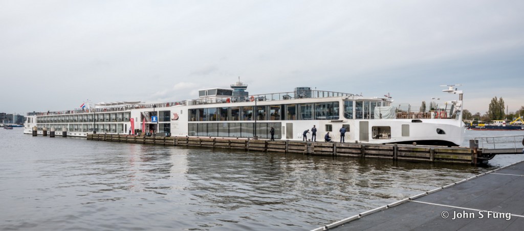
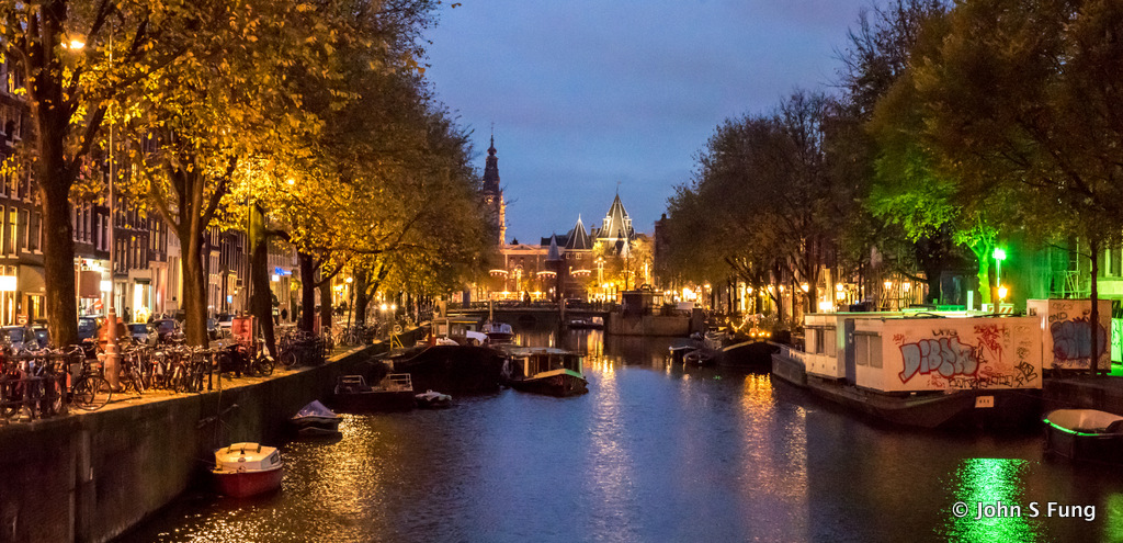
This was the second day of our river cruise, sleep deprivation on our flight to Amsterdam and jet lag was bugging me that morning. What’s more, the overcast weather had completely turned me off. During photo editing, I had to do a little twisting on Lightroom to be able to bring out the colors you see here.
Wikipedia – The windmills at Kinderdijk are a group of 19 monumental windmills in the Alblasserwaard polder, in the province of South Holland, Netherlands. Built in 1738 and 1740, to keep water out of the polder (低窪開拓地), it is the largest concentration of old windmills in the Netherlands. They have been a UNESCOWorld Heritage Site since 1997.
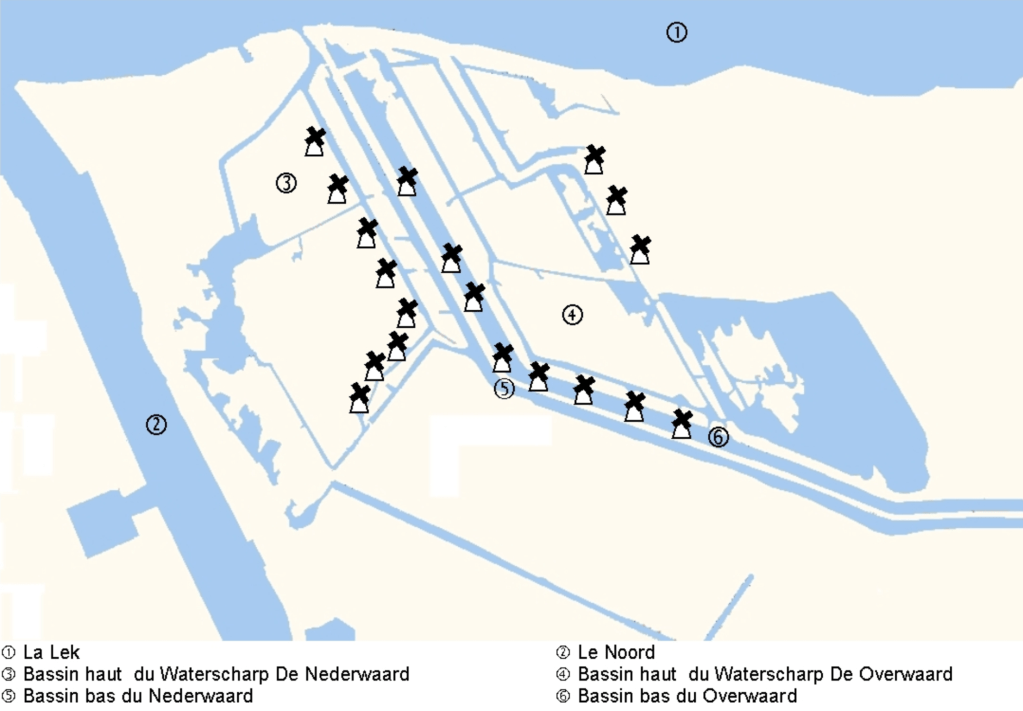
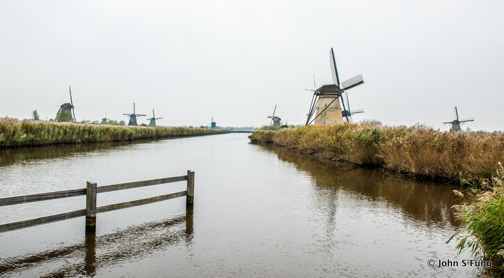
上圖示出風車群位於Lek (1)河與Noord (2) 河之間。 中間開鑿有河道weteringen 排水。這些建於1738-1740的風車未有足夠動能直接將低窪地區(polder)的積水引至兩河,所以先將水引入水塘,待兩河水位降低時再引入兩河排出。
Wikipedia – Kinderdijk lies in the Alblasserwaard, at the confluence of the Lek (1 on the map) and Noord (2 on the map) rivers. In Alblasserwaard, problems with water became more and more apparent in the 13th century. Large canals, called “weteringen”, were dug to get rid of the excess water in the polders. However, the drained soil started setting, while the level of the river rose due to the river’s sand deposits. Most of the current mills were built in 1738 and 1740.After a few centuries, an additional way to keep the polders dry was required. It was decided to build a series of windmills, with a limited capacity to bridge water level differences, but just able to pump water into a reservoir at an intermediate level between the soil in the polder and the river; the reservoir could be let out into the river through locks whenever the river level was low enough; the river level has both seasonal and tidal variations.
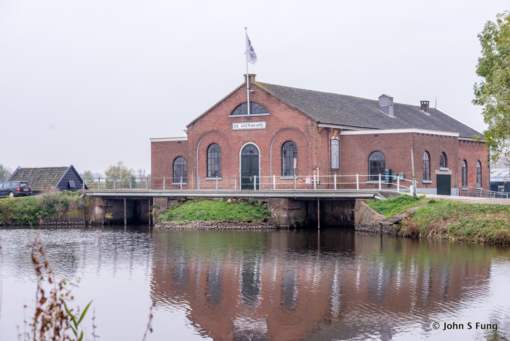
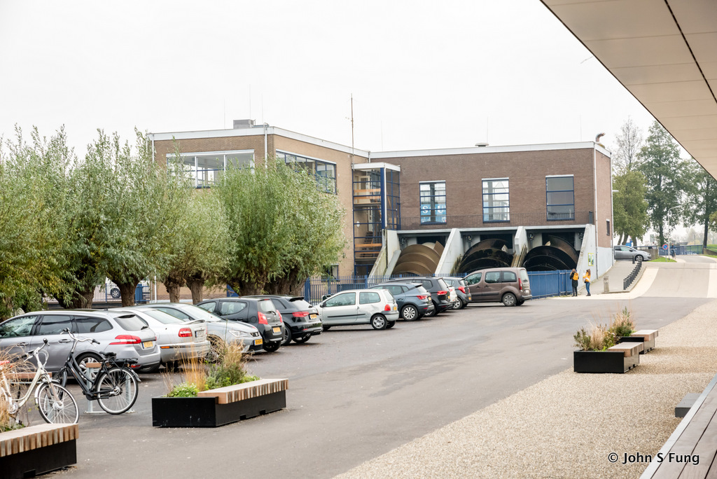
這是 Wisboom 抽水站,1868-1924時用風車抽水,其後改為蒸氣推動,後再改為電力。如果沒記錯,這裡已改為展覽館。
Wisboom pumping station engine room (above). If my memory serves me well, this building is now a visitor center where there are exhibitions to show how excess water is drained from the polder, first by windmills and later on from 1868 to 1924, by a steam-powered pump which was replaced by electrical pump.
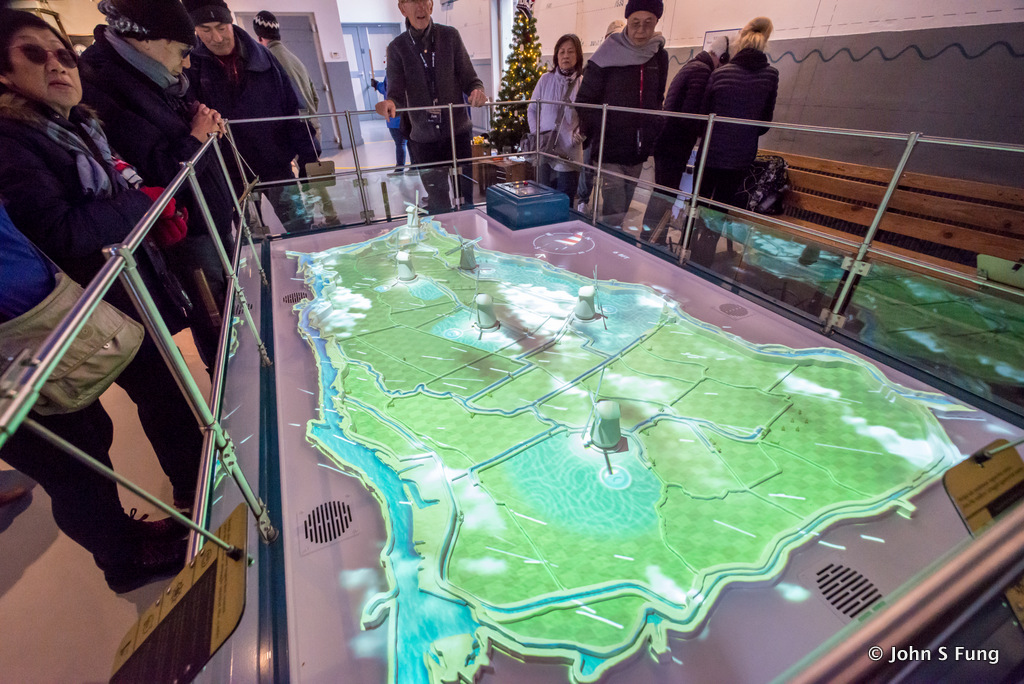
館內模型展示風車、低窪地和運河的配置和運作。
This model shows how windmills work to pump excess water out of the polders.
J.U. Smit 抽水站,這是柴油抽水站,在停車場就能看到將水由低沙洲轉移載至河中的三個巨型螺旋輪。
J.U. Smit pumping station.The diesel pump station uses three giant Archimedian screws, visible even on the parking lot, to carry millions liters of water/min from the Nederwaard (低沙洲) basins out into the river.
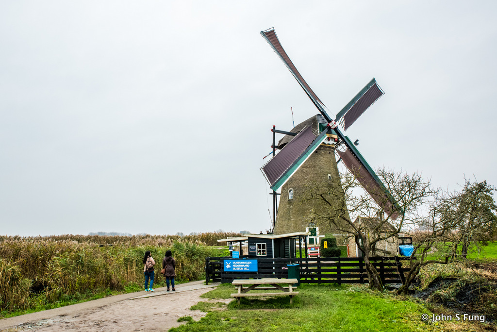
風車博物館。
Museummolen Nederwaard – Museum Mill
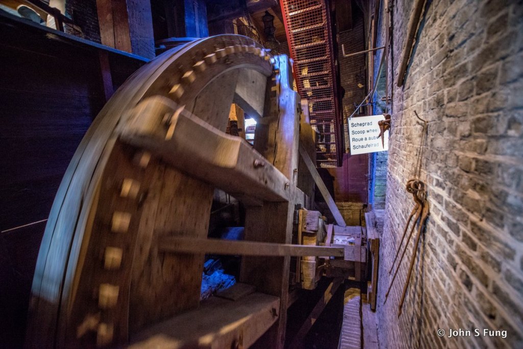
風車轉動,帶動𥚃面的勺子巨輪,將水由低沙洲轉到高沙洲。
The Scoop Wheel: The wooden windmills of the Overwaard (1740) use a scoop wheel to pump water from the Lower Basin to the Upper Basin.
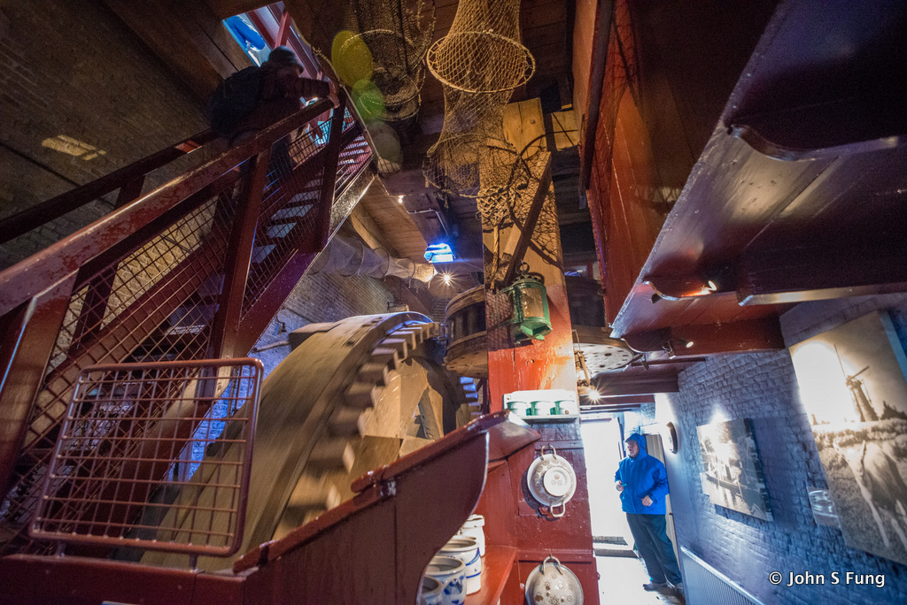
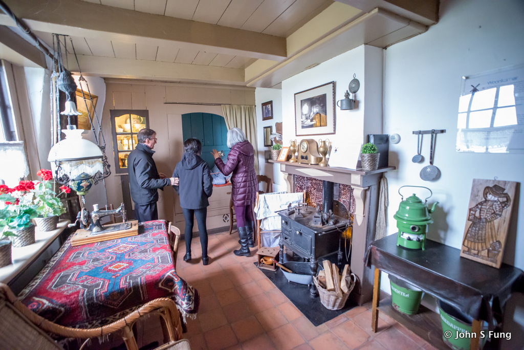
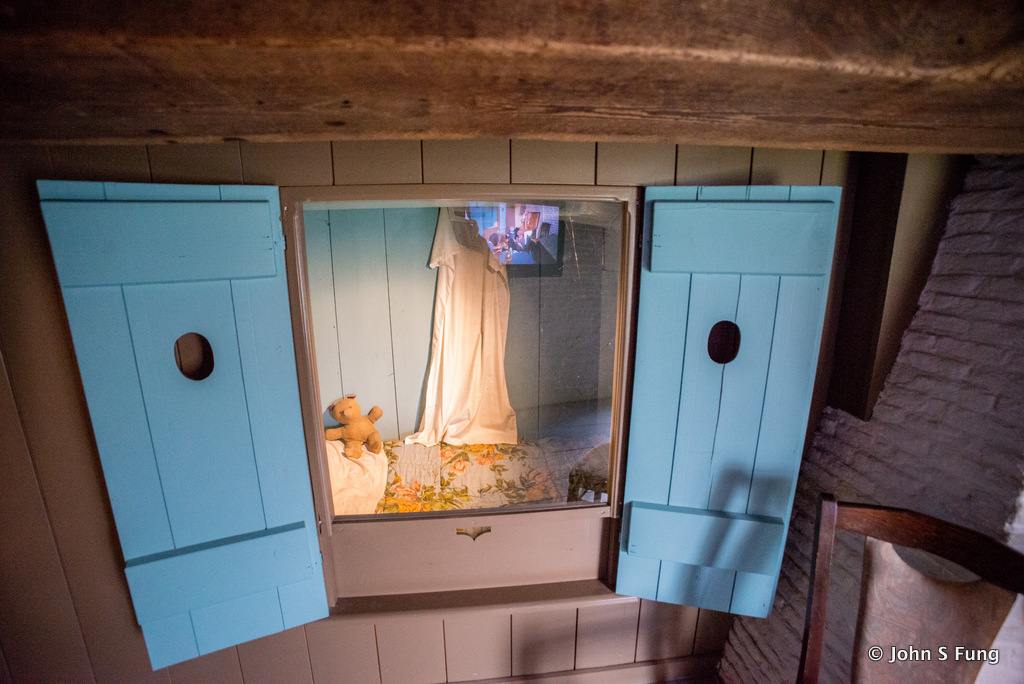
風車內有空間僻為居室,室外有園圃種植蔬菜,供風車管理者生活起居之用。
Inside the wooden windmills of the Overwaard, there is enough space for a miller and his entire family.
我們自博物館出來,與導遊失散了,只好往回走了。
下面給大家介紹兩個app, 下載至手機,可作導覧之用。
Apps for Kinderdijk (the following links are for iphone, they are also available for Android)

https://apps.apple.com/us/app/kinderdijk-unesco-official/id1343241236
https://apps.apple.com/us/app/kinderdijk-visit-the-world-heritage/id1193200147